 ZYRAXIS
The Axis of Spatial Intelligence
ZYRAXIS LiDAR turns raw drone LiDAR flights into survey deliverables on your own computer: a PPK trajectory, a classified point cloud in mean-sea-level heights, DTM, DSM and contours, an orthomosaic and an accuracy report.
Version 0.13.0 for Windows and Linux. Free for 30 days.
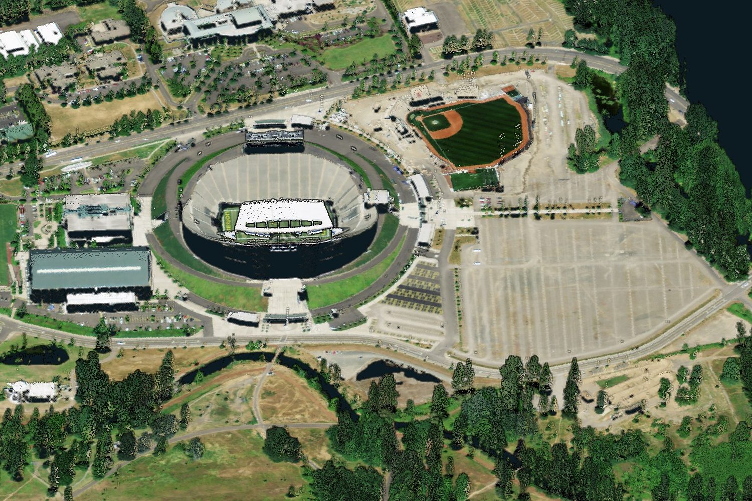
From the memory card to the deliverable
Seven steps, run one at a time or all at once with the Recommended Workflow, which records every step and setting in the project.
Import
The raw mission folder: laser, IMU, GNSS, photographs and the factory calibration.
Trajectory
RTKLIB post-processing against your base, fused with the IMU in a 15-state Kalman filter and smoother.
Georeference
Every return placed in your coordinate system, with heights above mean sea level.
Classify
Ground, vegetation, buildings and noise; points coloured from the photographs.
Terrain
DTM, DSM, hillshade, density and contours at any cell size, over any area.
Orthomosaic
True ortho on the LiDAR surface, or photogrammetric with OpenDroneMap.
Report
A PDF with trajectory quality, flight-line agreement and check-point accuracy.
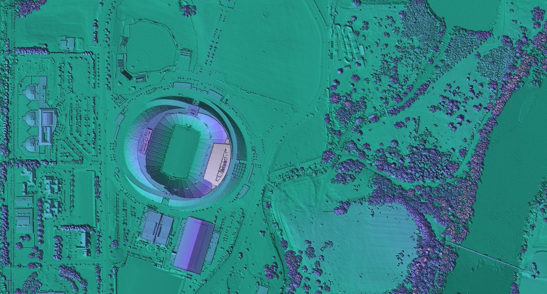
From points to surfaces
The cloud becomes a digital surface model and a bare-earth terrain model, shaded and ready for design and drainage work.
- Any cell size
- from a few centimetres to metres, over any area
- No size limit
- grids are made block by block, so big missions fit in memory
- MSL heights
- in metres above mean sea level, on EGM2008 or EGM96
- GeoTIFF
- with hillshade, point density and contours alongside
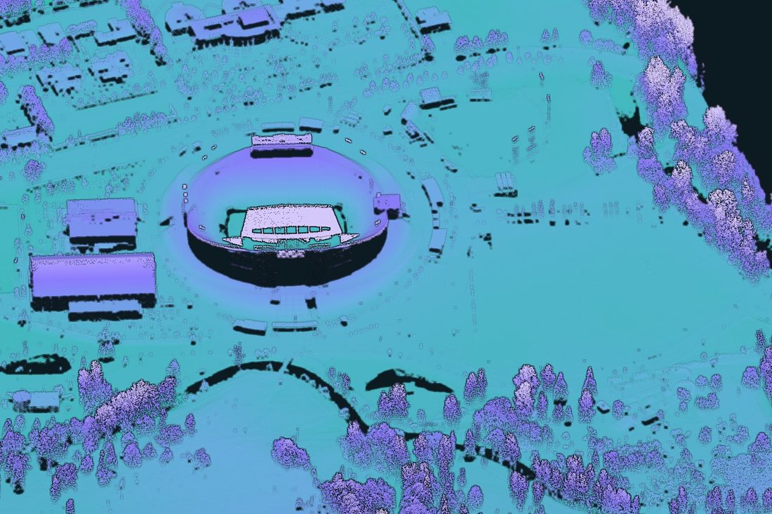
Deliverables your client can open
Standard formats in the coordinate system and height datum of the project, ready for AutoCAD, Civil 3D, QGIS, ArcGIS or CloudCompare.
| Point cloud | LAS 1.4 or LAZ, ASPRS classes, RGB from the photographs, heights above mean sea level (EGM2008 or EGM96) or the ellipsoid |
|---|---|
| DTM and DSM | GeoTIFF at any cell size, with hillshade and point density; very large grids are written as tiled BigTIFF |
| Contours | DXF with labelled index contours, or CSV, at the interval you choose |
| Orthomosaic | GeoTIFF, or JPEG / PNG with world file, at any resolution; seamlines as GeoJSON |
| Trajectory | PPK solution with its fix rate and accuracy along the flight, and gaps in base data listed with times |
| Report | PDF with trajectory quality, agreement between flight lines and residuals at your check points |
A quality report with every project
Hand your client the evidence with the deliverables: one PDF that shows how good the survey is, not only what it looks like.
- Trajectorythe share of the flight with a fixed PPK solution, and the position accuracy along the whole flight
- Base dataevery stretch flown without corrections, listed with its start and end time
- Flight lineshow closely overlapping strips agree in height
- Check pointsthe residual at each check point you import, with RMSE and mean error
- Coordinatesthe coordinate system and height datum, also written into every exported file
- Settingsevery processing step and setting, so the work can be repeated
Made for the surveys that do not go to plan
Each of these comes from a real flight that went wrong. ZYRAXIS LiDAR finds the problem and tells you what to do about it.
Network RTK that reconnects mid-flight
When the correction service hands the drone a new virtual base station, each part of the flight is solved against its own station instead of shifting the cloud.
A coordinate system for the wrong place
Georeferencing stops when the map projection would stretch distances by more than 1 %, and names the right UTM zone.
Gaps in the GNSS solution
Every stretch flown without base data is listed with its times, so you can drop or reprocess those points.
Damaged or unusual recordings
A damaged IMU file is recovered up to the damage; a mission that starts in steady flight still aligns.
Fits the way you already work
Bring the files you already have from the field. Take the results into the software your team already uses.
Comes in
- Drone LiDAR mission folders, one or many
- Base data: the network RTK stream the drone recorded, your own base receiver, or a CORS station (RINEX)
- Control and check points from CSV or text files
Coordinate systems
- Any EPSG system, including UTM on WGS 84 and the Indian datums
- Heights on EGM2008, EGM96, the ellipsoid or your own geoid grid
- Arbitrary and local systems, from a .prj, WKT or PROJ string
Goes out
- AutoCAD and Civil 3D: contours in DXF, points in LAS
- QGIS and ArcGIS: GeoTIFF surfaces and orthomosaics
- CloudCompare and other point cloud tools: LAS and LAZ
Download ZYRAXIS LiDAR 0.13.0
Released 5 November 2026. Every download starts as a 30-day trial: create an account when the program first opens.
Windows 10 or 11, 64-bit. Installs for your user account; no administrator rights needed.
Download installerUnzip anywhere and run zyraxis-lidar.exe in the zyraxis-lidar folder. Nothing is installed.
- Run ZYRAXIS_LiDAR-0.13.0-setup.exe and follow the installer.
- Open ZYRAXIS LiDAR from the Start menu.
- Create your account; the 30-day trial starts at once.
One file for CentOS 7.6 and newer, Ubuntu, Linux Mint and other 64-bit Linux with glibc 2.17 or newer.
Download AppImageFor computers without FUSE. Extract it and run zyraxis-lidar inside the folder.
- Make the file executable:
chmod +x ZYRAXIS_LiDAR-0.13.0-x86_64.AppImage - Run it:
./ZYRAXIS_LiDAR-0.13.0-x86_64.AppImage. If it does not start, install FUSE 2 (fuse-libs on CentOS, libfuse2 on Ubuntu, libfuse2t64 on Ubuntu 24.04 and Mint 22) or use the tar.gz. - Create your account; the 30-day trial starts at once.
Try it on your own data
Start with the trial on one of your own missions. When it fits your work, a licence key unlocks everything on the same computer.
Trial
Free for 30 days
- Up to 3 missions
- Import, PPK trajectory, georeferencing and classification
- DTM, DSM and hillshade; LAS and GeoTIFF export
- Quality report and the Recommended Workflow
- One trial per computer
Licence
Annual per computer
- Everything in the trial, with unlimited missions
- LiDAR and photogrammetric orthomosaics
- Strip adjustment, GCP adjustment and sensor calibration
- Accuracy test against check points and point cloud comparison
- LAZ and contour (DXF) export
- Works 7 days offline; move it to another computer up to 3 times a year
Questions before you start
Anything else, write to us.
Which sensors does it support?
Drone LiDAR missions, opened exactly as the sensor writes them to its memory card; one project can hold many missions. Write to us with the sensor you fly and we will confirm it is supported.
Do I need my own base station?
PPK needs base data from one of three places: the network RTK corrections the drone recorded during the flight, your own base receiver, or a CORS station. Base receivers and CORS stations are read as RINEX files.
Does my survey data leave my computer?
No. Missions, point clouds, photographs and results stay on your computer. The program only talks to our licence server to sign you in and check the licence; what that records is set out in the Privacy Notice shown before you create an account.
Do I need an internet connection?
To create your account and sign in, and then at least once every 7 days. Processing itself works offline.
What happens when the trial ends?
Your projects still open and you can view every result. Processing new data needs a licence; activate the key in Help, Licence and Account and carry on where you left off.
Can I move my licence to a new computer?
Yes. Choose Deactivate this computer in Help, Licence and Account on the old computer, then activate the key on the new one. A licence can move 3 times in each year.
Which coordinate systems can I deliver in?
Any EPSG coordinate system, including the Indian datums, with heights above mean sea level on EGM2008 or EGM96, on the ellipsoid, on your own geoid grid or with a local shift. The program warns you when the chosen system does not suit the place you flew.
Talk to us
Quotes, licence keys, training for your survey team, or help with a difficult dataset.
Write from your work address and tell us which drone and sensor you fly.